Orielton Field Studies Centre. Leader Sid Howells
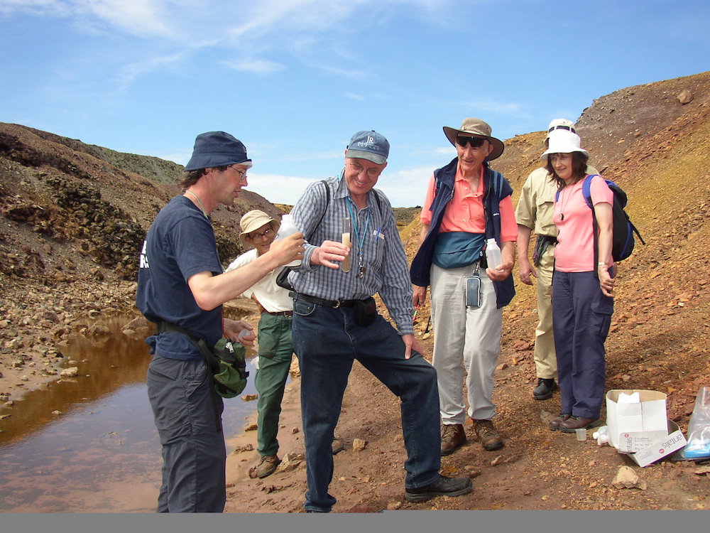
This year’s Summer Weekend was spent at Orielton Field Studies Centre, just south-west of Pembroke, where twenty members enjoyed good food and comfortable accommodation. Arrangements were excellent, even extending to a minibus for transport. Seven years ago we spent the weekend on the geology of north Pembrokeshire; so in 2013 it was time to see the Old Red Sandstone and Carboniferous rocks of the spectacular coastal sections of south Pembrokeshire.
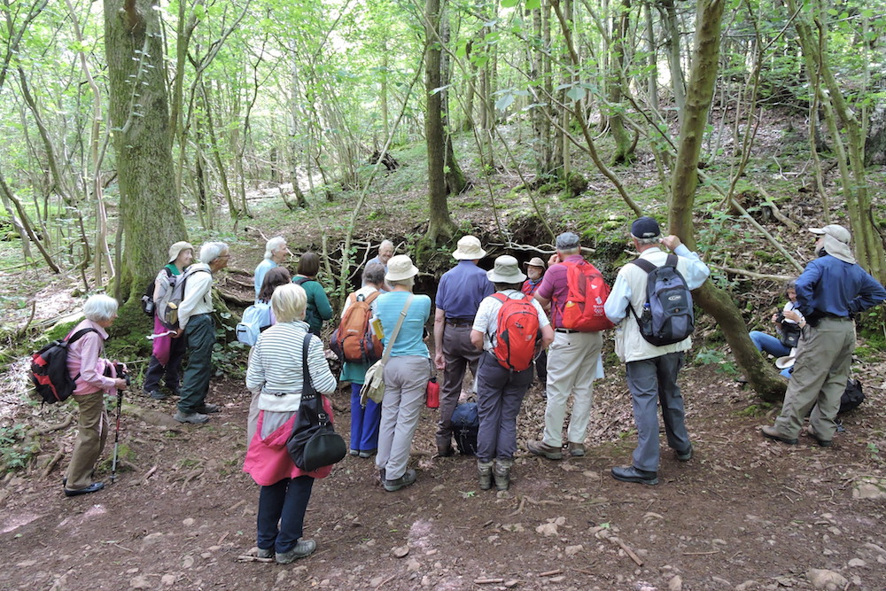
The weekend began for some with a Friday afternoon visit to Pembroke Castle, built on and of Carboniferous Limestone exposed in the Pembroke Syncline. Beneath the castle is the Wogan, a vast natural cavern in the limestone, giving the castle occupants a basement access direct to the banks of the river Pembroke. The weekend proper began with supper on Friday followed by an introductory talk by our leader Sid Howells. South Pembrokeshire was folded by the late Carboniferous Variscan Orogeny when Africa collided with southern Europe, and the district was folded on a WNW axis. The southern coast is a Carboniferous limestone, exposed in the Bullslaughter Bay Syncline. This passes north into the Orielton Anticline, exposing older Devonian Old Red Sandstone, and even older Silurian and Ordovician in a few places. North of this lies the Pembroke Syncline, which again exposes the younger Carboniferous Limestone.
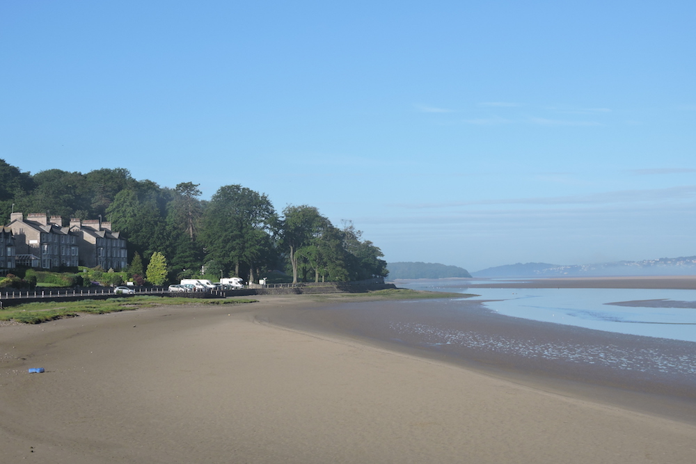
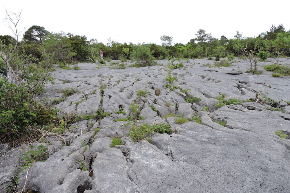
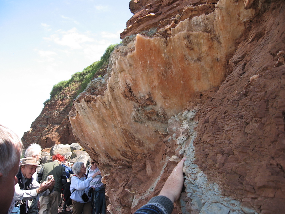
Saturday started on the sands of Freshwater East Bay [SS016978], an anticline within the wider Orielton Anticline. The cliffs show steeply dipping beds near the core of the anticline. We studied deposition patterns in the watery sand of an ebb tide and then walked across the bay, down-sequence from Younger ORS on one side, through Silurian mudstone and sandstone in the middle, and back up-sequence into the ORS. East along the coast for several miles are high ORS cliffs with a series of embayments where conjugate fault sets nearly normal to the fold axis are points of weakness and hence erosion.
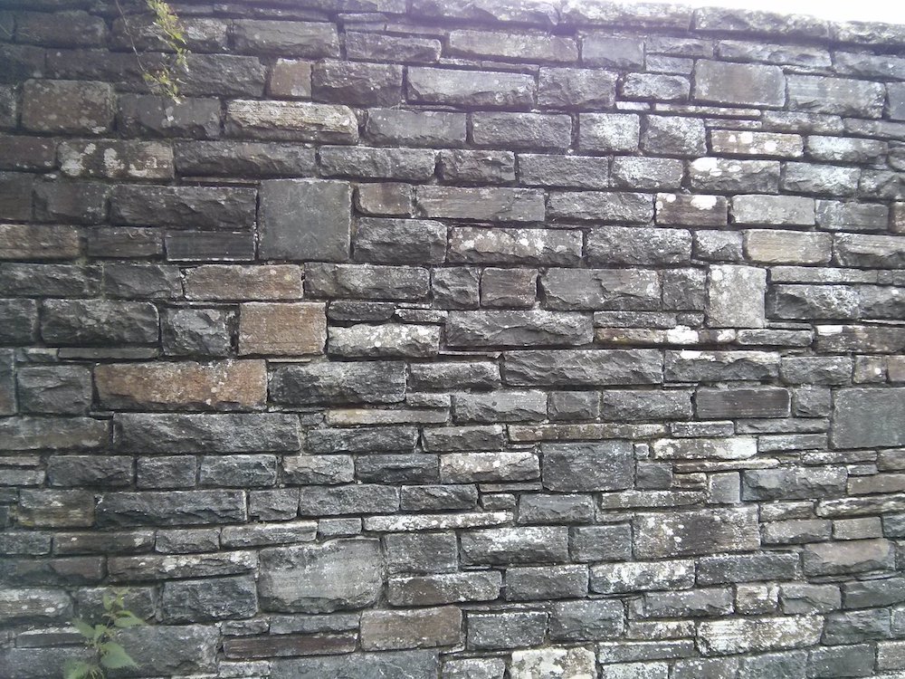
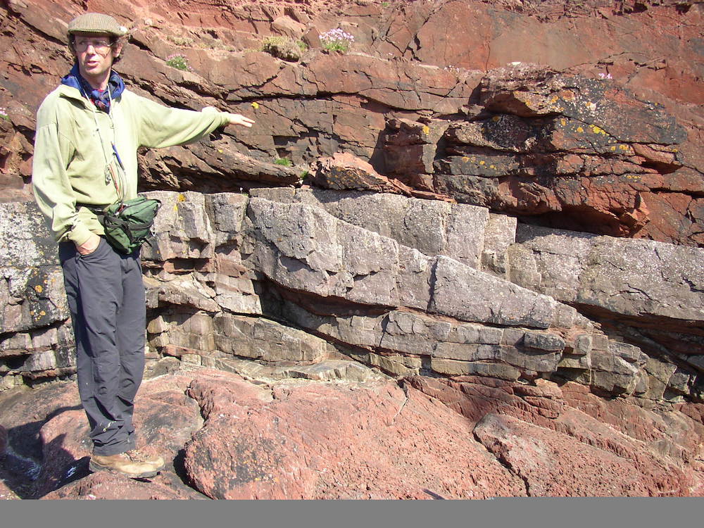
At the far north of the bay is a pronounced conglomerate, the base of the Lower ORS, not to be confused with the extensive Ridgeway Conglomerate which marks the top of the Lower ORS. These sediments were deposited in semi-arid, sometimes waterlogged, Devonian braided rivers and coastal plains. We saw the evidence: red sandstones deposited in oxidising conditions, lie beside greenish sandstones deposited in a waterlogged environment; pronounced dessication cracks preserved in the mudstone; fine sandstones intercalated with thin lenses of grits due to surges of coarser material in riverine conditions; calcretes (carbonate nodules) formed as limestone precipitated from evaporated flood soils on exposed sand banks. Quartz and pink (potassium) feldspar grains were probably sourced from igneous rock to the north-west.
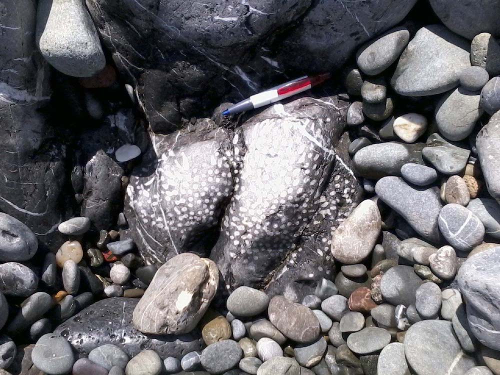
Conglomerate
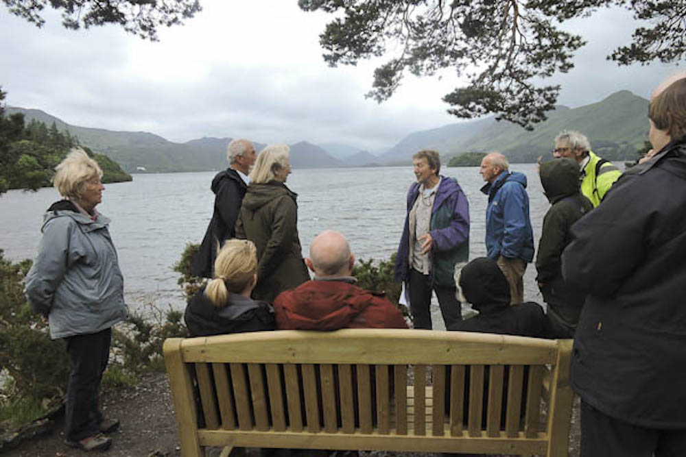
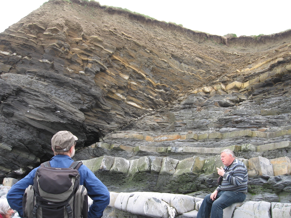
A few miles south-west the Carboniferous Limestone appears in the Bullslaughter Bay Syncline and we had lunch there at the picturesque Stackpole Quay [SR993958].
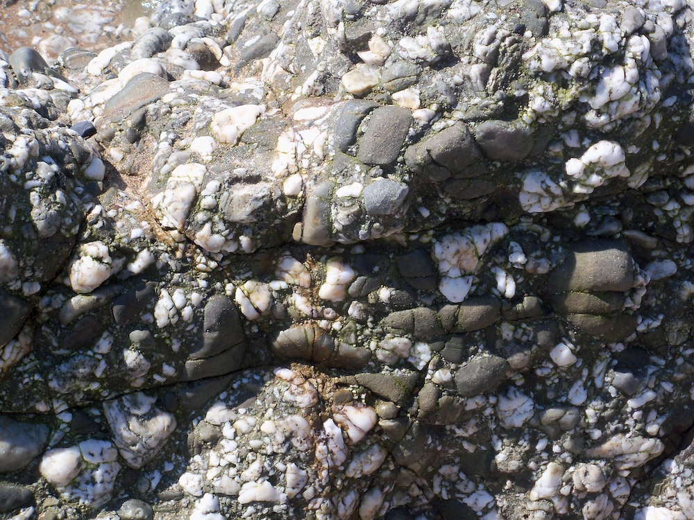
Axial core of syncline
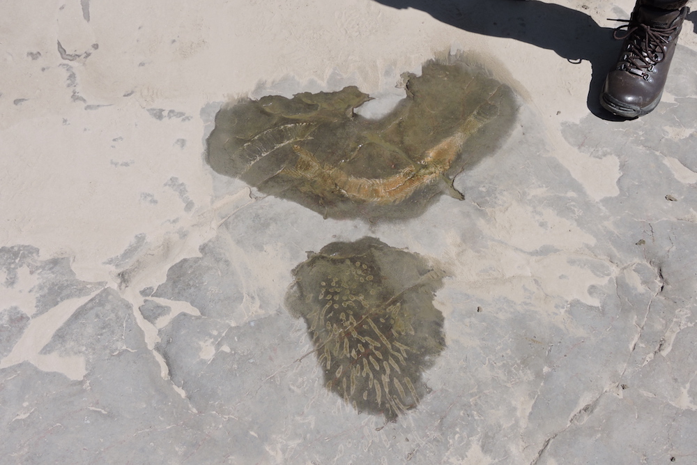
At Quay Cove we saw the axial core of a tightly folded plunging asymmetric syncline and Sid Howells excavated the foreshore beach stone to uncover a huge Lithostrotion (colonial rugose coral); it has to be re-exposed at every visit! There are also brachiopods (productids), solitary corals (Caninia), large crinoid ossicles and very large worm casts (Palaeophycus?).
Lithostrotion
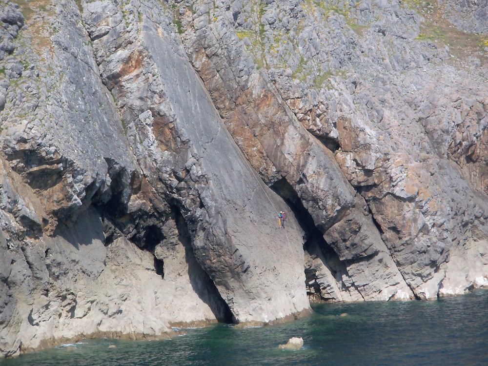
Next came Stack Rocks [924945] in the Upper Carboniferous, on the MOD range. Caves are often eroded in softer horizons on either side of promontories, and frequently they meet in the middle to form natural arches, and then collapse to leave a tall stack just offshore.
Green Arch
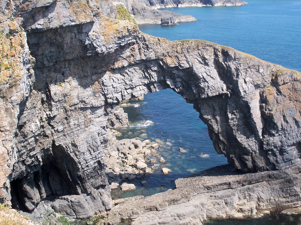
These form splendid safe havens for colonies of nesting seabirds. West of the stack lies the Flimston Fault, running south-east across the Bristol Channel. We could see, looking along the headland, where a lateral displacement of some 500 metres had shifted the rocks to produce a visibly different fold structure on the other side.
Devil's Couldron
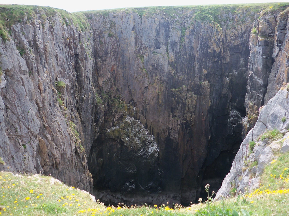
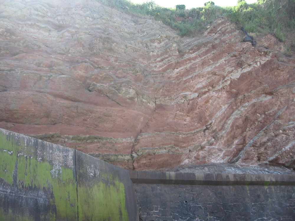
We moved on to the Devil’s Cauldron, Flimston Bay and, finally, a brief visit to Freshwater West [885994], where the Flimston Fault runs along the wave-cut platform. Here, at Great Furznip, the Skrinkle Sandstones of the Upper Devonian lie unconformably above the Ridgeway Conglomerate of the Lower Devonian, and below the Lower Limestone Shales which mark the start of the Carboniferous. Back at Orielton we finished the day with supper and a second talk from Sid Howells.
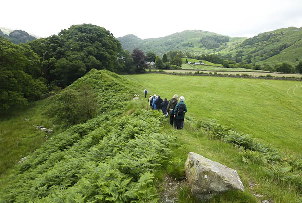
Most of Sunday was spent walking the lovely beach from Saundersfoot Harbour [138047], across the barnacled boulder bed of Monkstone Point, to Trevayne [147029], in Carboniferous sandstones of the Middle and Lower Coal Measures. Once again, looking west into the cliffs cross-sections of numerous short range folds, faults and low angle thrust structures are presented. Near the harbour in the cliff faces there are ironstone nodules, formed by chemical replacement as iron in the pore waters precipitated as siderite (iron carbonate). The folding varies from tight upright folds to recumbent folds with thin anthracitic coal seams, which perhaps lubricated the folding.
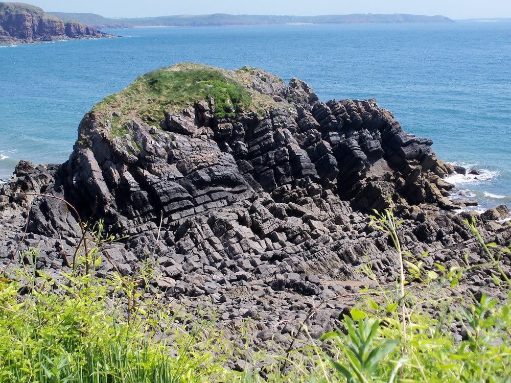
Ladies Cave Anticline
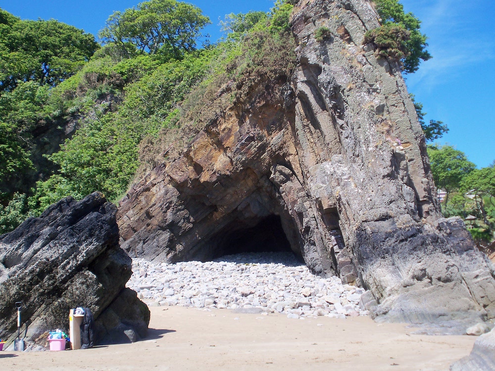
Not far south of the harbour is the Ladies Cave Anticline [139040], the most frequently illustrated geological feature of the district. Alternating thick sandstones and shales have allowed a sharp asymmetrical chevron fold to remain protruding well above the foreshore sand. The outer shape is protected by thick sandstone beds. The inner part has been eroded and hollowed out by hard quartzite storm beach boulders. A similar anticline appears fifty metres north along the beach, but now fully collapsed and only just emerging from the sand. Anticlinal rocks emerging from the sand become more widely separated towards the sea, showing the structure plunges north. The less steep side of the asymmetrical anticline dips roughly south, showing the Variscan Orogeny which caused it occurred to the south. After crossing Monkstone point, Tenby comes in sight and we made the long, steep climb up the cliff steps to the minibus waiting at the top.
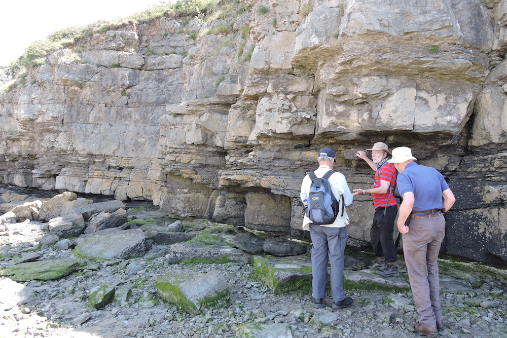
Next stop Lydstep Point [088976], on the Carboniferous Limestone. As so often on the South Pembrokeshire coast, west-east faults have led to progressive land displacement westward, and conjugate fault sets very roughly aligned north have caused embayments – and beautiful sandy havens. Caldey Island lies some 3km west and was probably once a fault-shifted peninsula, now separated from the mainland by erosion. On Lydstep Point we saw the Gash Breccia, a wide horizon in the vertically dipping limestone. It appears in many places and is thought to be unique to this district. Was it caused by limestone cave collapse, or brecciation during the Variscan Orogeny, some sort of fault crush perhaps, or something else? Much discussion has not reached agreement, or even consensus. Some of the blocks are bus sized, some of rock crushed much finer.
Lydstep Point
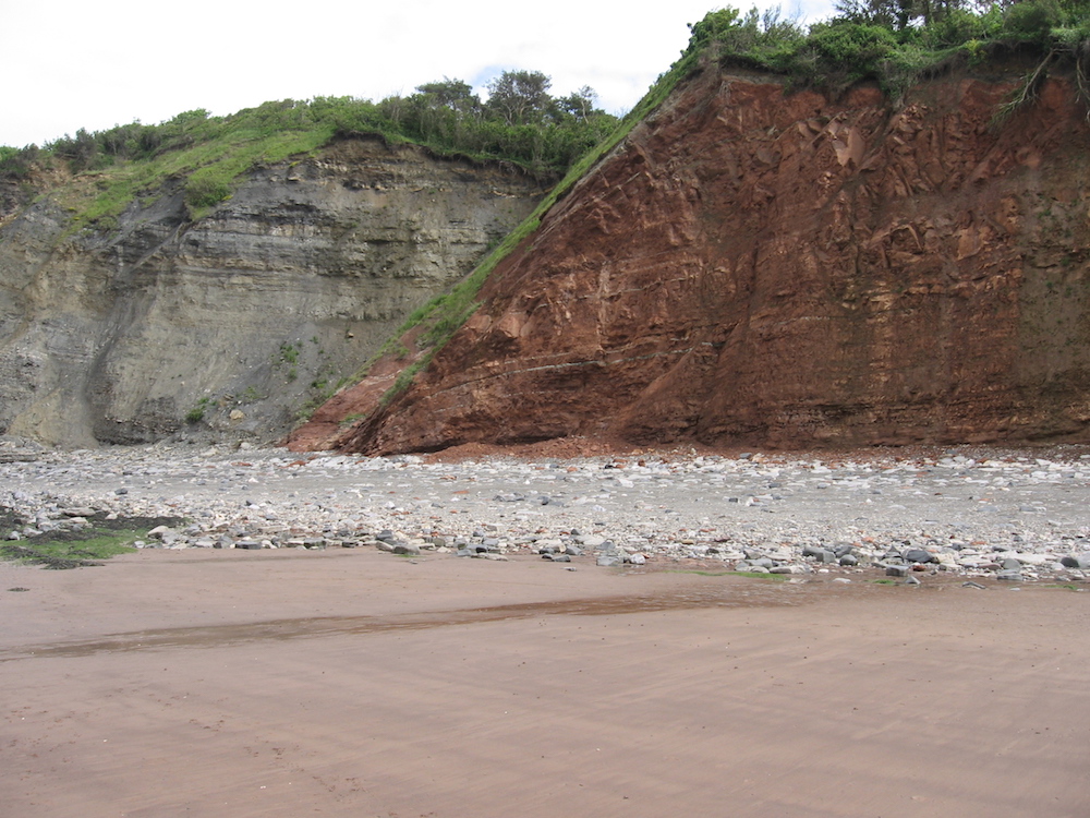
The final stop was 1 km west at Skrinkle Haven [083974]. From our vantage point, the nearest half of the cliff of this small bay is Carboniferous Lower Limestone Shale; the other half is the Skrinkle Sandstone which forms the Upper Devonian of the district. The Middle Devonian has been lost in an unconformity. The near side of the bay (north) is eroded on a fault within the shale, leaving a large, sheer wall-like cliff. At the far end of the bay the promontory is caused by the Ridgeway Conglomerate, marking the top of the Lower ORS. Unfortunately the far cliff face was in strong shadow, obscuring the boundary, but the nature of the fallen rock below each unit was clearly different. Sunday ended with supper and a quiet evening in the common room.
Colin at Manorbier
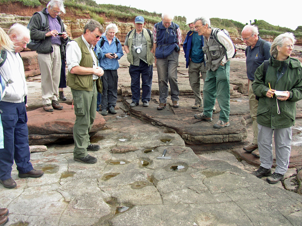
Monday morning we visited the shore of Manorbier Bay [062974], in sight of the castle, to look at a cross-section of vertically dipping ORS, some 500 metres south of the Ridgway Conglomerate. Each of six beautifully exposed deposition cycles begins with a coarse, mud rip-up lag in red silty sandstone, and then fines upwards through channel fills of grey sandstone with parallel lamination, and some rippled lamination in the upper part. Each shallowing cycle is then topped by purple silty mudstone, with calcrete nodules formed from the soils which began to be established on the sand bars of a braided river, before avulsion (sudden change in direction) inundated the new vegetation and began another cycle of deposition. Most members left after the morning, with a few stalwarts staying on to search for fossils further up the succession. All agreed, one of our very best annual weekends.<