Land of my Fathers
Hen Wlad fy nhadau
A Geological History of Mid Wales and its Metal Mining
Overview of contents:
Introduction
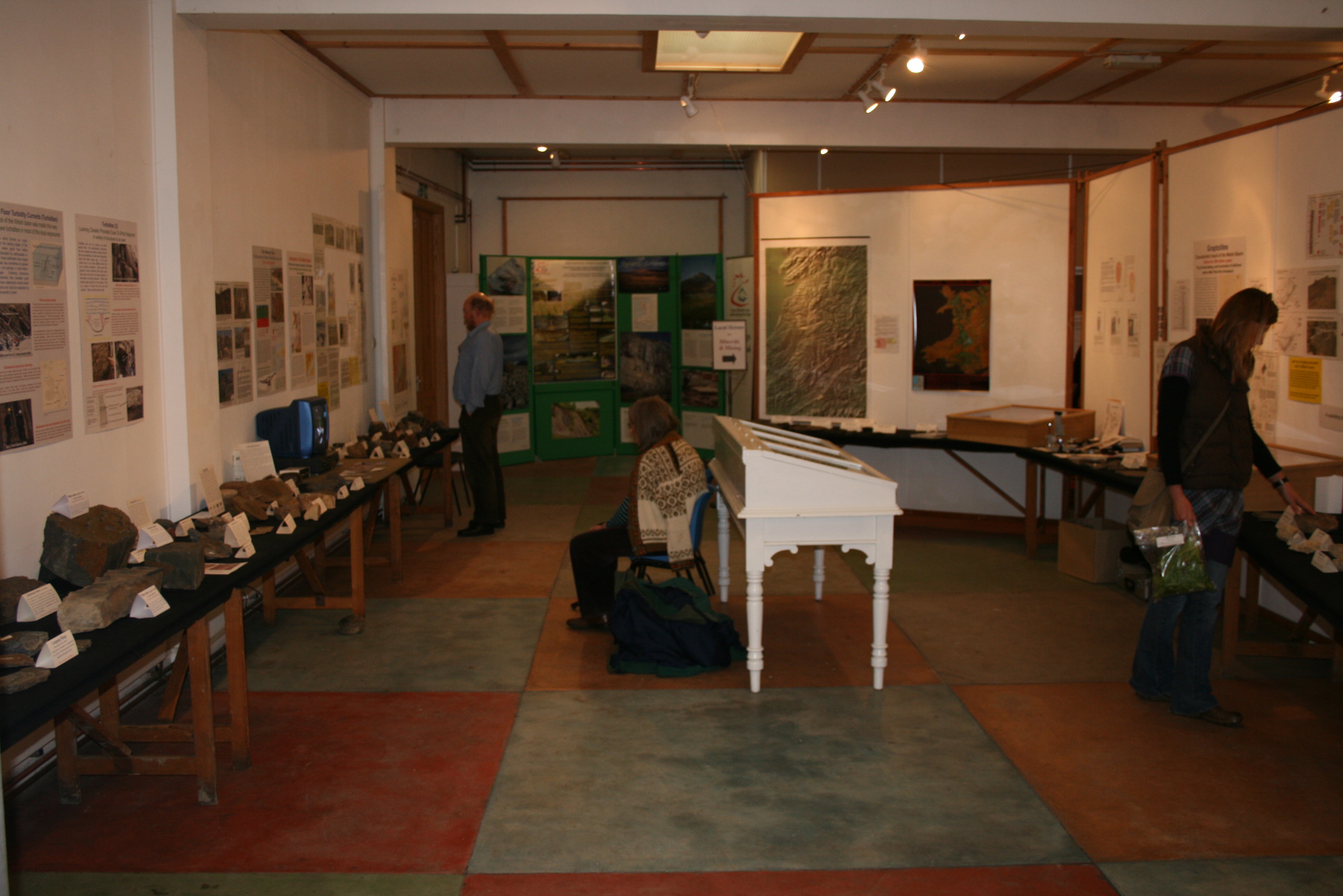
Land of My Fathers was a public outreach programme, centred on an exhibition with associated activities in Llanidloes in 2007/8, arranged by Mid Wales Geology Club in conjunction with the Welsh Mines Society. Funding assistance was provided by the National Lottery Awards-for-All, and by the Geological Society of London under their 'Local Heroes' scheme. The programme also celebrated the bicentenary of the Geological Society. Several other organisations and numerous professional geologists provided further assistance. The exhibition, A Geological History of Mid Wales and its Metal Mining ran for week in September 2007 at the Minerva Arts Centre, Llanidloes. It contained several hundred specimens of rocks, minerals and fossils, over fifty large posters, a variety of geological models, and 3-D maps from the British Geological Survey. More than 300 people visited the exhibition.
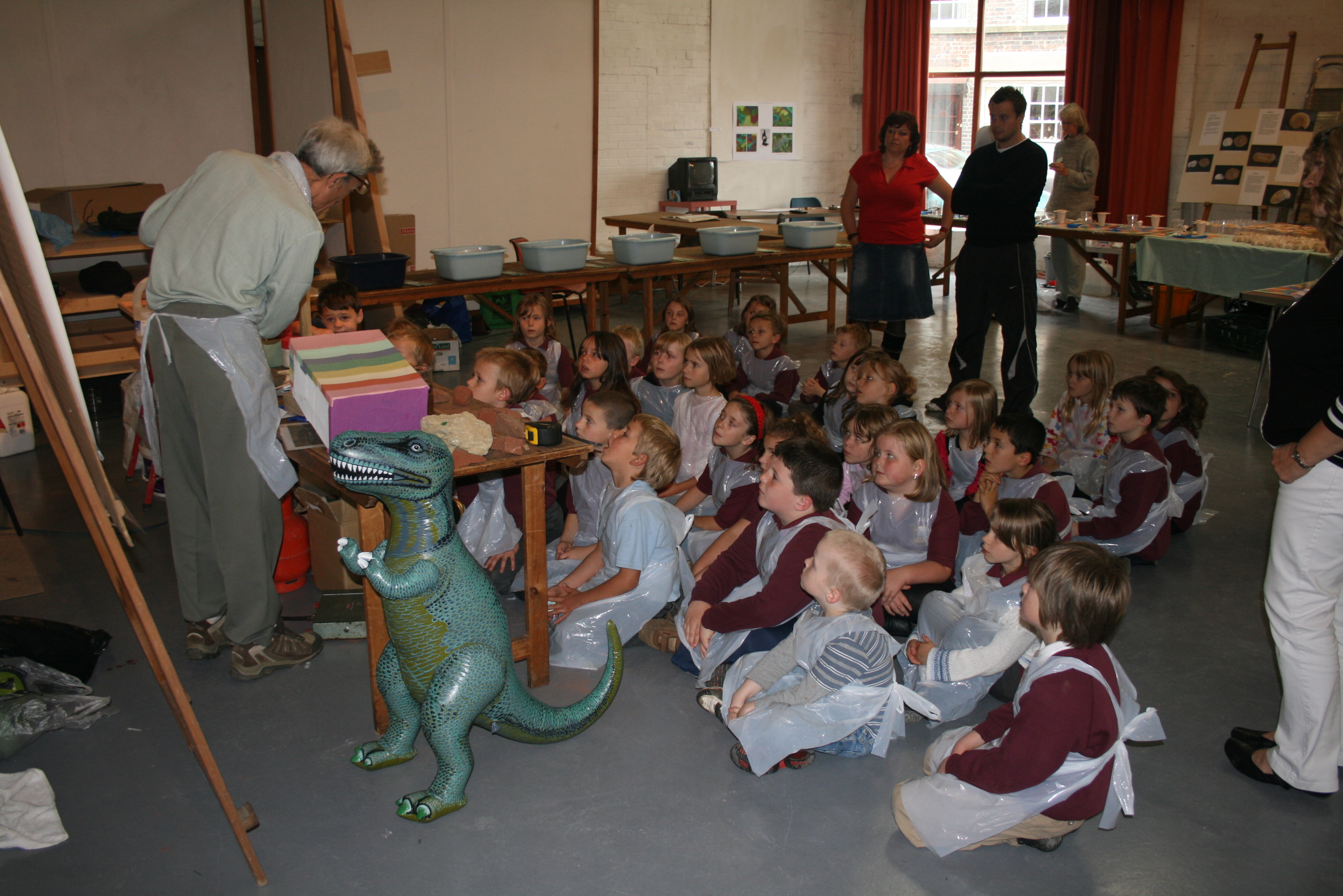
Seven associated talks were held, mostly in Newtown, running through into 2008, including presentations by Prof David James, Prof Neil Glasser, Prof John Cope, Prof Cynthia Burek, and Dr John Davies. The talks by Prof James and George Hall (President of the Welsh Mines Society) at Minerva during the exhibition week were opened by Lembit Opik MP and attended by 145 people. Several field trips were also arranged, and there were activity sessions for nearly 200 primary school children during the exhibition.
Back to top
The Missing Years
What happened in Mid Wales during 300 million years between its formation and the recent ice age?1 Professor John Cope (National Museum of Wales)
The first of Mid Wales Geology Club's Land Of My Fathers public talks on the geological history of the Welsh Basin was given at Plas Dolerw, Newtown on 23 May 2007. Professor John CW Cope from the National Museum of Wales spoke on 'The Missing Years', a still controversial view of what might have happened in Wales during the last 300 Ma (million years).
Professor Cope observed in 1994 that in the Tertiary period (post-65 Ma) the continental crust beneath the Irish Sea must have been uplifted at least 2 km. This contributed to the present regional south-eastward dip of Wales and England, so the rocks become progressively older north-westwards. Subsequent research suggested that the crust was underplated and thickened by rising magma, causing the uplift, though there is no evidence of surface volcanism, as in the Western Isles of Scotland.
A much earlier uplift of the Welsh Basin into mountainous terrain around 395 Ma is well understood, and these ancient rocks are exposed today. Central Wales then remained land for some 200 Ma. Those early mountains might have been 3 km high but were eroded back to sea-level by the Early Jurassic, 200 million years ago. Jurassic rocks have long been known from South Wales, but were not found further north until they were discovered in the Mochras Borehole near Harlech. In the borehole an extraordinarily thick succession of Lower Jurassic rocks, preserved from erosion by downfaulting, demonstrated that all of Wales probably had some Jurassic cover.
In the early Jurassic, a rising sea-level inundated most of Wales intermittently. In the latest Jurassic and Early Cretaceous Wales was probably land and at least some of the Jurassic sediments would have been eroded at that time, but the sea returned again strongly, depositing more sediment: during the Late Cretaceous, when at its highest, sea-level may have been more than 200 metres higher than it is now. Because Early Cretaceous erosion may have removed much of the Jurassic cover it is difficult to estimate the total thickness of these Mesozoic deposits, but the Cretaceous chalk alone is likely to have approached 1 km in thickness.
The Jurassic-Cretaceous climate was tropical, with average temperature around 25°C. The local seas teemed with life, including the large marine reptiles, plesiosaurs and ichthyosaurs. Some of the large dinosaurs which populated the land areas may also have lived in Central Wales at times of lower sea-level, but any such fossils have long-since been eroded.
The idea that the Chalk may have covered Wales was first suggested in 1902 by Strahan. He observed that the present rivers of SE Wales did not follow the structures deformed around 280 million years ago (during the Variscan orogeny) but instead cut across them. He thought they may have originated in the flatter overlying Chalk cover, cutting through to superimpose their drainage pattern on the rocks beneath. Although a Chalk cover for Wales now seems conclusive, there are no remnant patches of flint gravels as in SW England, probably due to the rapidity of erosion of the Welsh Chalk cover in the early Tertiary.
Rifting, and the opening of the northern North Atlantic began in the Cretaceous and continued into the Tertiary with clearly associated post-65 Ma volcanism. A present-day volcanic hot spot exists beneath Iceland; there was extensive volcanism off the west coast of Scotland in the Tertiary, and now it appears there was early Tertiary magmatic underplating beneath the Irish Sea. Magma, perhaps rising from the Earth's mantle, accumulated beneath the crust and the land domed upwards. Gravity anomaly maps reveal high-density rock beneath the continental crust, and indicate underplating of the crust by 8 km of basalt around the Isle of Man, reducing to some 4 km under North Wales.
The resultant Tertiary doming of land where the Irish Sea is now, led to some 2 km of Jurassic sediments and Cretaceous Chalk being stripped off by erosion. This view is supported by burial-depth studies using fission track analysis, (which indicates maximum rock temperature caused by earlier burial), and suggests that the Lower Palaeozoic (older) rocks now exposed must have had up to 2 km of newer rocks deposited on them, and subsequently eroded. The south-eastward regional dip of England and Wales is around 0.5 deg, which corresponds well with the loss of around 2 km by erosion on the uplifted western side, while the non-uplifted eastern side of Britain retains its Chalk today.
All this indicates earlier presence of around 2 km of Jurassic and Cretaceous cover over Central Wales. If Wales were covered by the Chalk seas, then all its rivers must have originated in post-Chalk time. Gravity studies suggest the centre of the Irish Sea uplift lay to the south of the Isle of Man, in which case the river systems would have developed radially from that point. Remarkably, many rivers of southern Britain and Ireland do have courses close to this direction.
Most of the long rivers in Wales and England also rise in the west and flow eastwards, whilst in Ireland, on the other side of the putative dome, the long rivers rise in the east and flow westwards. A soft Chalk cover would have allowed rivers to incise deeply and quickly, and penetrate the Lower Palaeozoic rocks. This established a permanent drainage system which persisted in the older rocks long after the Chalk had gone, helping to create the incised plateau appearance of so much of Wales today.
1Most rocks exposed in Mid Wales today are Ordovician & Silurian, 488 to 416 Ma, part of the Lower Palaeozoic. The time periods discussed in the talk are much younger:
- Tertiary 2 to 65 Ma
- Cretaceous 65 to 145 Ma
- Jurassic 145 to 200 Ma
Back to top
The Metal Mines of Mid Wales: Where are the Lodes?
(Structural & Stratigraphic controls on the Central Wales Orefield)
Professor David James, 21 November 2007, Plas Dolerw, Newtown
Dr David James is visiting professor at Cardiff University. In November 2007 he gave an elegantly simple and splendidly illustrated talk to Mid Wales Geology Club in Newtown, on the factors determining the location of the ore lodes in the Central Wales Mining District. The rocks containing the ores, mostly lead and zinc sulphide, were deposited in the Welsh Basin in Ordovician and Silurian times. Metals in ionic form, widely disseminated in these rocks at depth, were scavenged by hot fluids flowing slowly under pressure to areas where they accumulated. Eventually the mineral-rich hydrothermal fluids used faults to escape suddenly upwards from depth, depressurise and cool, and precipitate the ores. Subsequent erosion exhumed the ore deposits close to the surface, making mining economic.
Professor James adopted an oil industry reservoir analysis approach to explain the location of the ore lodes. Sites are determined by differences in permeability of the deformed rock after fracturing; and differences in bed thickness due to variable sedimentation on the floor of the extending basin, which slipped on fault lines into half grabens, producing fault blocks dipping down-to-east.
Hydrothermal fluids arose mostly from dehydration of rocks during metamorphism, and partly perhaps from water retained in the pores of the original sea-floor sediments. Over-pressured fluids moved very slowly through the rock towards the surface when permitted to do so by the developing permeability caused by uplift during the Caledonian Orogeny. The rocks were strongly folded and the fluids accumulated in anticlinal apices (tops of upward folds) and in upward-pointing pinched-out strata. Fluid movement was so slow that sites of mineralisation developed 5-10 million years after rock deformation and metamorphism.
Sandstone beds were initially around 30 percent porous, with interconnected pores creating permeability, allowing fluids to pass. Softer mudstones were more porous, typically 40-50 percent, but without comparable interconnection of pores the original mudstone was less permeable. After lithification the rocks became denser and lost their porosity, so most of the later porosity was fracture induced. Fractured sandstones, common in the Ordovician, transmitted hydrothermal fluids. Shale horizons, more frequent and thicker in the overlying Silurian, were much less permeable, capping and sealing hydrothermal fluid reservoirs in the sandstone. Monograptus sedgwickii shales of the Silurian period were particularly effective as caps as they easily deformed plastically.
Faulting under extensional conditions released accumulated mineral-rich fluids from their host rocks by fracturing the impermeable sealing shales. Some faults in the orefield have throws of hundreds of metres. When fluid in the rock at the top of the fault is suddenly connected to the higher pressure of fluid in the deeper rock at the bottom of the fault, the rocks at the top often exploded, as seen in several striking photographs of orefield hydraulic brecciation shown by the speaker. Competent rock like sandstone is more prone to brittle fracture than less competent, softer, more plastic shale. Therefore faults tended to initiate in sandstone, which explains the mines in the Formations of Van, Cwmystwyth and Early Silurian Derwenlas.
The continental collisions of the Caledonian Orogeny subjected Ordovician and Silurian rocks of the Cambrian Mountains to compression and mild sinistral shear (the north-western edge along the Menai Strait was pushed down-left, and the Welsh Border was pushed up-right) leaving basin-bounding faults with NNE alignment. As the region relaxed around 390 million years ago in the early Devonian, compression changed to extension, reversing the shear direction (to dextral), opening dominantly ENE faults around the orefield area, and leading to the first of several stages of mineralisation (timings are known from study of lead isotopes in the ores).
Geomechanics predicts that the greater the fluid over-pressure in the fault host rock, the steeper is the dip of the fault in which the lode subsequently forms. The larger lodes often dip steeply, 75 degrees or more, on normal faults produced during extension. Understanding the sense of movement would normally be helped by observation of slickensides (scratch marks) indicating the direction of movement of rocks in the fracture zone. Unfortunately the character of the faults changed as tectonic conditions changed, obliterating the evidence of earlier fault movement.
A large volume of hydrothermal fluid was needed to deposit the larger lodes, possibly in a series of releases. The fracture channel probably occluded with ore deposit, thus sealing itself and allowing over-pressure to re-build. Many thousands, or even a few million years later, further movement on the fault could then release another accumulation of mineral-rich fluid. Evidence of previously brecciated rock, contained within a later brecciation, indicates a multi-stage process. Secondary porosity can also aid fluid movement, and is caused by dissolution of minerals cementing the rocks, with calcareous cement more easily dissolved than silica cement. This may explain why the silica-cemented rock of West Wales does not contain useful secondary porosity.
The preferential habitat of economic mineralisation in the orefield is therefore on faults with the biggest throws, in high points of the containing strata, above anticlinal sandstone reservoirs, especially in thick sandstones, and where potential shale seals were not thick enough to preclude all upward movement of fluids. This explains the rich lodes at Dylife, Van, Cwmsymlog, Frongoch, Logaulus and Cwmystwyth. Few ores are found on the Plynlimon Dome itself as its apex position permitted fluids to rise into Silurian rocks which have since been eroded. Between Llanidloes and Rhayader no good lodes have been found because fewer suitable fractures were initiated in the Silurian strata there, and the thicker shale of this district may have sealed any Ordovician fluid reservoirs at depth.
In discussion Professor James did not rule out future small-scale economic mining in the orefield. Shallow mines would be the most attractive because deep, wet mines need to be pumped and, although metal prices have increased, so have energy prices. Silver was once extracted from lead ore (galena) bearing tetrahedrite (a complex metal sulphide with some silver) especially at Cwmsymlog, and modelling might indicate where further deposits lie. It is also possible to re-work some spoil tips for minerals, but disturbing spoil tips would expose toxic waste and be uneconomic because of the consequent environmental obligation.
Back to top