Evening Field Trip to The Roundabout SJ274130 July 2024 led by Tony Thorp
On Wednesday 17th July 2024 we enjoyed our "traditional" evening field trip taken to make better use of the long evenings out of doors. The weather was good and we explored "The Roundabout", an enigmatic feature on the River Severn north of Welshpool. (OS ref. SJ274130)
Note that "The Roundabout" is on private land and permission is necessary from the nearby landowner at Maesyderw Farm before visiting.
This is the third feature of the River Severn which we have studied. We have looked at the "Gravels" at Llandinam where the river has historically been in an unstable condition, moving between a braided and a meandering planform. At Caersws, only a few miles downstream, it is very clearly meandering and extremely active, moving at about a metre a year.
The "Roundabout" is different in that, although its planform is extremely meandering, enigmatically, it has been stable for over 150 years! Just why is it so different?
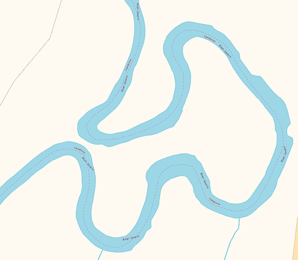
The "Roundabout" by Open Street Map Open Data Commons Open Database License (ODbL) https://www.openstreetmap.org/copyright
After assembling at the road junction off the A483 we drove to the car park provided for anglers and started our walk from there. The immediate surroundings are devoid of any relief, other than an embankment which is followed by the Offa's Dyke Footpath. In an area lacking any significant elevation, this embankment offers an opportunity to have a look-around.
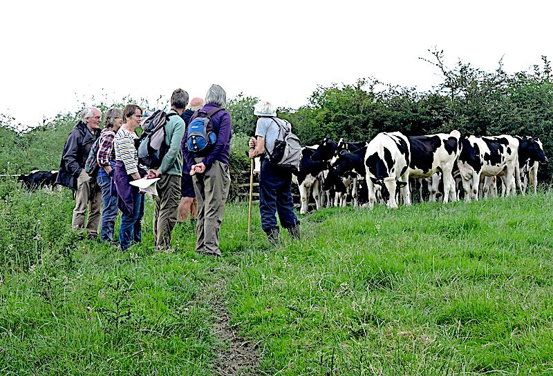
Members near inaccessible river at neck of loop.
The Roundabout is in a flat area surrounded by hilly eminences. South and east is the rounded length of the Silurian Long Mountain, east to north is the prominent andesitic peak of Moel-y-Golfa and the dolerite intrusion of Criggion Quarry, while to the northwest is the Ordovician high ground of Meifod and the Berwyns.
It is easy to imagine the scene after the glacial maximum, when melting ice would have contributed to a massive flow of water, ice and rocky debris funnelled through the gorge north of the Breiddens before disgorging onto the Shropshire plain. At that point the bedload would have been deposited with the water backing up and forming the proposed Lake Trederwen. To the north and west the rivers Vyrnwy and Tanat would have been undergoing a similar process and dropping their bedload, contributing to a very large glaciofluvial fan. It is established that the present valley floor is some 61m above the bedrock and this probably represents the height of the fan. When the resultant lake filled with sediment, it would have provided a zero gradient plain over which the present river could meander.
This explains the present very meandering planform of the river but does nothing to explain the extraordinarily stable behaviour here compared with the rapidly evolving situation at Caersws.
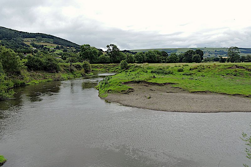
shingle deposits on point bar viewed from inner path
A hundred metres further on we arrived at the neck of the Roundabout where there is barely 10 metres of ground remaining. On either side the river flows on a tight radius, within 5 or 6 metre deep banks which are heavily wooded with mature willow trees. Some effort had been made to reduce erosion by dropping boulders and concrete rubble down the bank. (We understood from the landowner that on occasion some flow had occasionally occurred across the neck.).
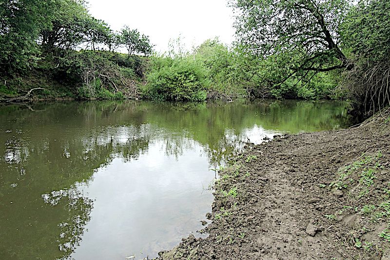
Muddy point bar viewed from inner path
From there, walking anticlockwise round the inside perimeter and following the river round, we saw a number of places where erosion was occurring by multiple faulting with terracettes developing. Where we could descend to water level we examined the sediments in the bank. Below the top few inches of fine silt multiple channel deposits were visible each comprising small pebbles to silt, sometimes massive and occasionally showing repeated laminations of a few inches thickness. It was difficult to see consistent patterns because of the fragmentation of the bank which had been somewhat amplified by cattle!
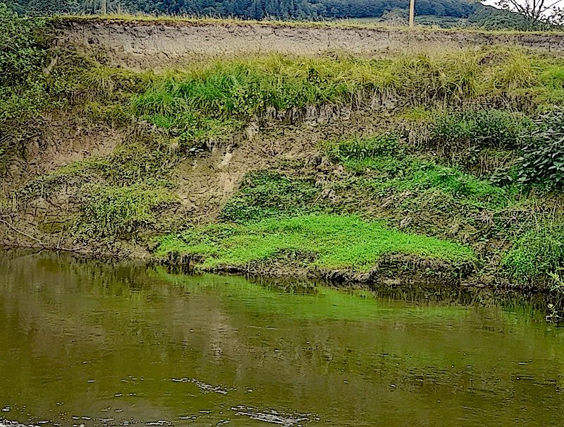
*** Roundabout Terracettes***
Another notable feature was the degree to which willows had adopted some stretches, some being unusually mature with trunks in the order of a metre diameter. Although willow is a short lived tree these must have been around their half century! Some were seen stabilising terracettes which had become islands.
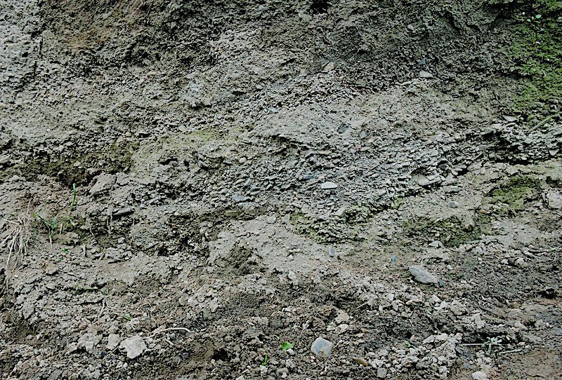
Eroding bank with channel deposits
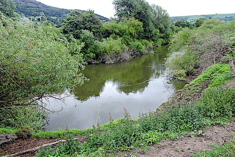
river bank heavily fortified by willows
At one point a collection of particularly large rocks was visible in the bed of the river but it was not obvious whether they were human, water or bedrock derived.
After completing a pleasant evening walk there was hardly time for a post-trip discussion and comparison with the Cearsws meanders, which would be a suitable subject for debate at a future indoor meeting.
One immediate observation is that, whereas at Caersws, the banks are only thinly vegetated, here they are overgrown by large mature willows. Willows are much used in the UK for bank stabilisation because they really enjoy having their feet wet. It could be that there is some feedback mechanism here which explains the contrasting stability compared to that at Caersws.
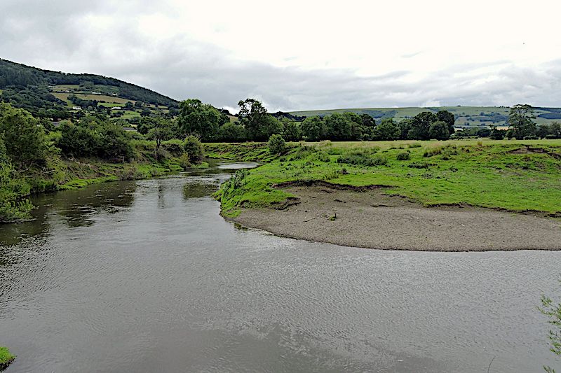
shingle deposits on point bar viewed from inner path
There could be a positive feedback relationship with willows. Stable banks allow willows to grow leading to more stable banks. Also, the banks are some 5m high and, once established, the deeper and older the sediment, the more indurated it becomes. Here we have a mechanism whereby stability becomes reinforced, only to be disrupted by extreme events. In which case a combination of natural randomness, variation of the rates of accretion and erosion, with a bit of feedback could explain the varying planforms.
All-in-all, we had a pleasant summer evening walk with a geological theme which posed more questions than there were answers.
Text by Tony Thorp and Photos by Bill Bagley (MWGC)